

Our equipment
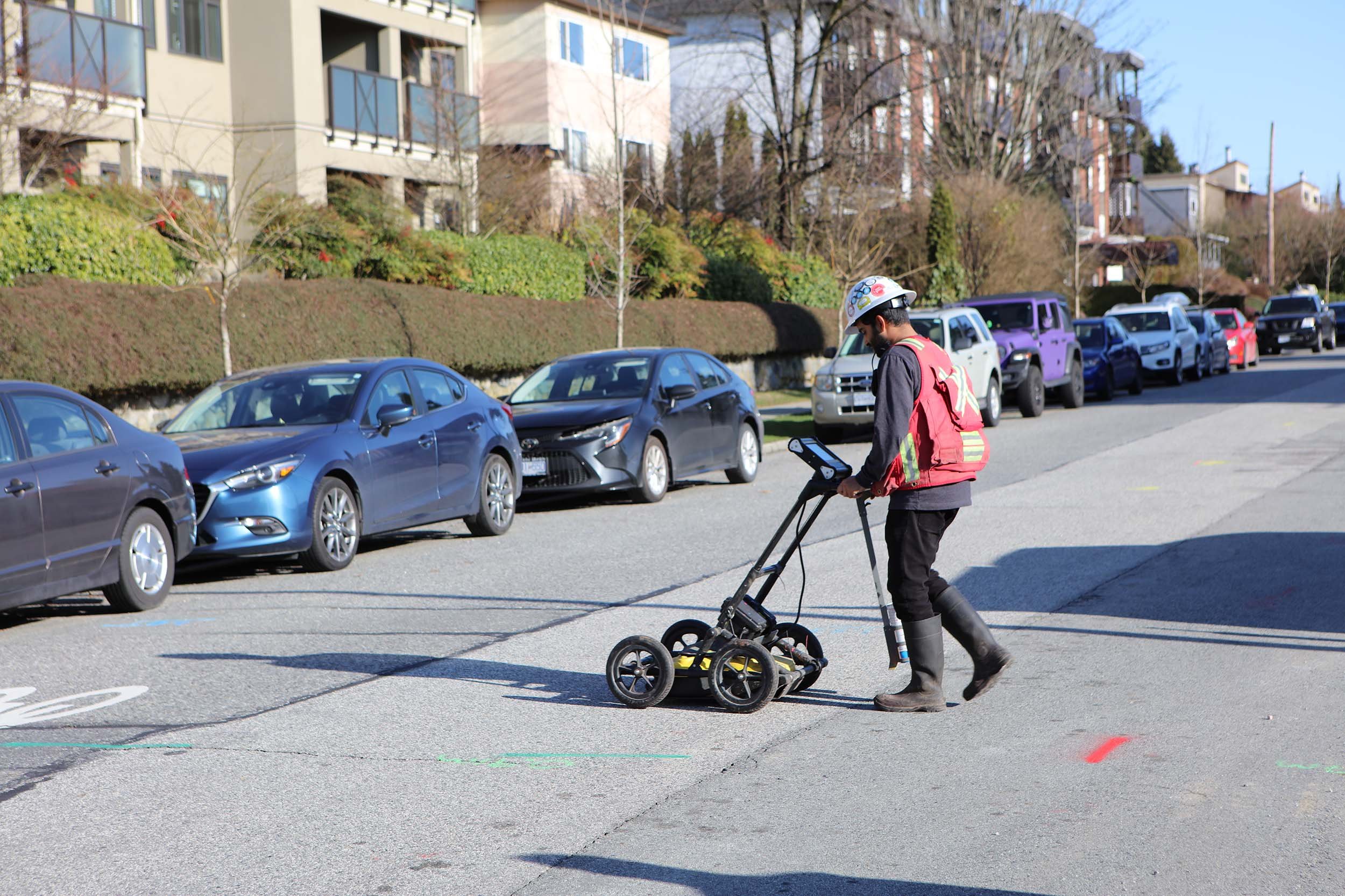
Ground Penetrating Radar
Used largely to locate non-metallic pipes, Ground Penetrating Radar (GPR) is an essential tool in the locator's toolbox. The common “lawnmower” style of GPR unit is used for utility locating in subsurface soils (125 MHz to 370 MHz). A higher frequency GPR unit is required to locate rebar, conduits and post-tension cables embedded in concrete.
-
Different soil types, soil geochemistry and object depths all produce different exploration depths for a GPR unit. Generally, sands and gravels and bedrock produce a depth range much deeper than seawater, concrete (highly conductive material) or clays.
GPR uses high-frequency radio signals transmitted into the ground with reflected signals returned to the receiver, interpreted by the unit and displayed in a visual format (i.e. LCD screen panel) on-board measures the time taken for a pulse to travel to and from the target which indicates its depth and location.

Concrete Scanning GPR
To locate objects such as rebar, conduits and post-tension cables embedded in concrete, a high frequency GPR system is used (1,000 MHz). The data is collected in grid pattern line scans to map slab anomalies and create a 3D picture of the slab.
Quadra operates a fleet of concrete scanning equipment and is ready to use our equipment on your next residential development, commercial development, bridge work or sub slab assessment project.
-
The newest tool in the concrete scanning toolbox is a Ferroscan system, perfect for scans of large areas of concrete quickly and easily.
Ferroscan provides accurate depth of cover measurements for reinforcement (rebar) at depths of up to 4 in (100 mm) and displays a clear 2D image of the reinforcement on the monitor for on-the-spot structural analysis and depth of cover assessment.
Records scan data automatically over lengths of up to 30 metres and up to 9 Imagescans. Perfect for rebar verification and analysis, checking concrete cover over large areas for structural repair work, building acceptance inspections and quality control, helps avoid costly rebar hits and damage caused by cutting through structurally significant reinforcement when coring and hammer drilling, generation of structural assessment reports including statistics and visual presentation in 2D/3D views of areas of up to 45x45 m.

Electromagnetic (EM) Locating
The electromagnetic (EM) scanning tools are used to locate objects using single or multi-frequencies. EM utility locators are commonly used for tracing metallic pipes and utility cables consisting of a separate transmitter and receiver. The transmitter emits a radio frequency EM field that induces secondary fields in nearby metallic pipes and cables. The receiver detects these fields and accurately locates and traces the pipes or conduits. Another approach is to sweep areas for 60 Hz signal emanating from electrical lines

Surveying Equipment
There are many types of surveys so let us know about your project and we will help direct you to the most cost- and time-efficient method for your project.
-
Get near centimetre accuracy with quick data collection overlaid on an existing CAD plan or overlaid on an orthographic photo to get that accurate understanding of your subsurface infrastructure on your site or property. Localized to sea level or a local coordinate, our survey crew can collect data not only of the subsurface locates but capture those above ground topographic features as well to include in our CAD plans.
-
For areas blocked from satellite coverage that need precision measurements we have a Spectra 80 Robotic total station. Save time on your project by having a single technician come out to your work site and utilize our robotic total station. Great for incorporating your local measurements and tying into existing information, we can capture specific points with accuracy. All Survey work can provide a CAD drawing for our clients. Robotic Total Station does provide single point collection so our data is concise and accurate, however, if you have a large project with many points to collect, have a look at our Laser Scanning capabilities.

Camera Rodder
The flexiprobe P540c Pushrod Inspection System allows us to collect high-definition footage of any conduit or pipe. The integrated system means we can share captured footage and the report before we even leave the field.
Some examples include inspecting installation quality on a newly installed drainage system and exploring the extent of a void underneath a rail track.